Midawa village (Sudest west coast)
Our photos
Stories from our visits
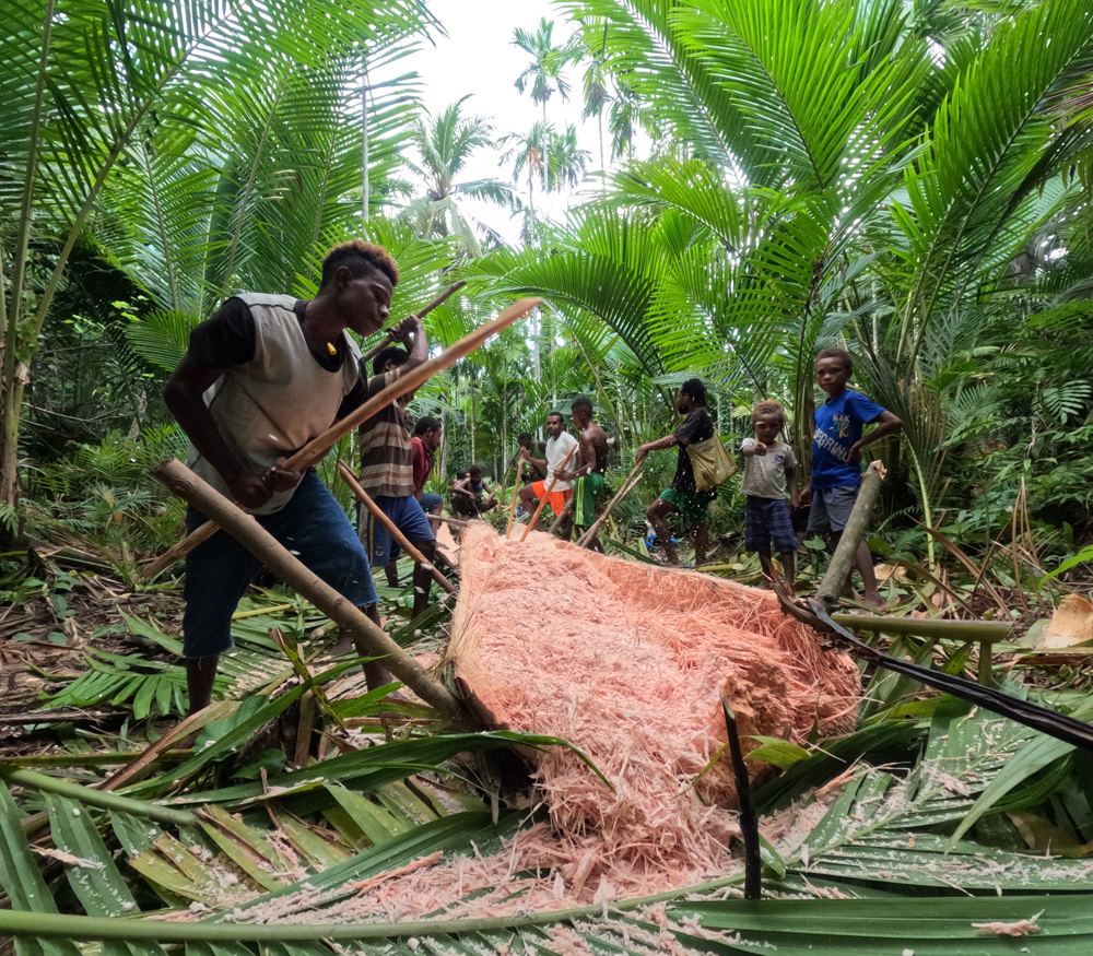
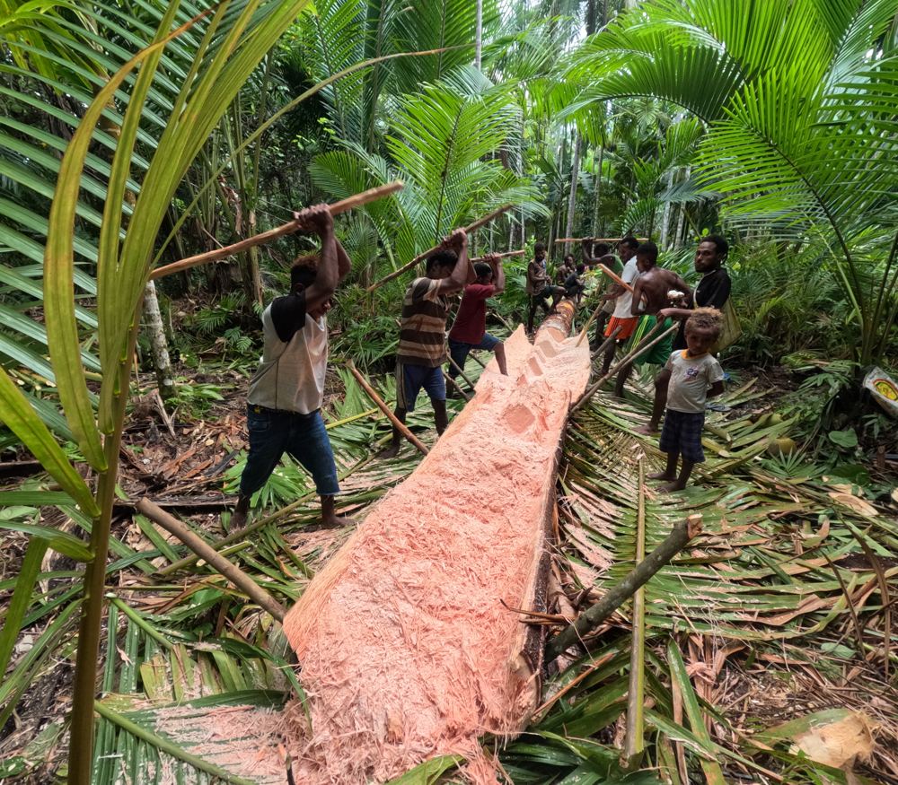
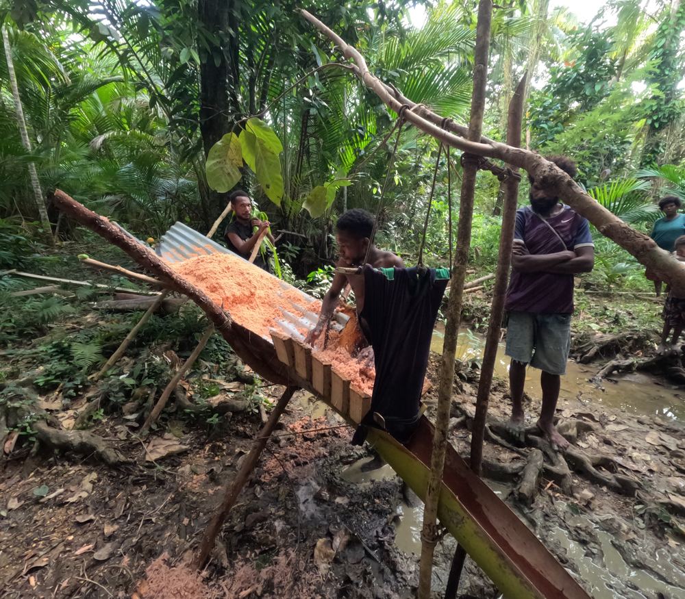
We watched the men make sago in the bush: beating the split palm, washing the fibre with creek water through a cloth into an old canoe, then baking the starch so it keeps for months (12 Apr 2024).
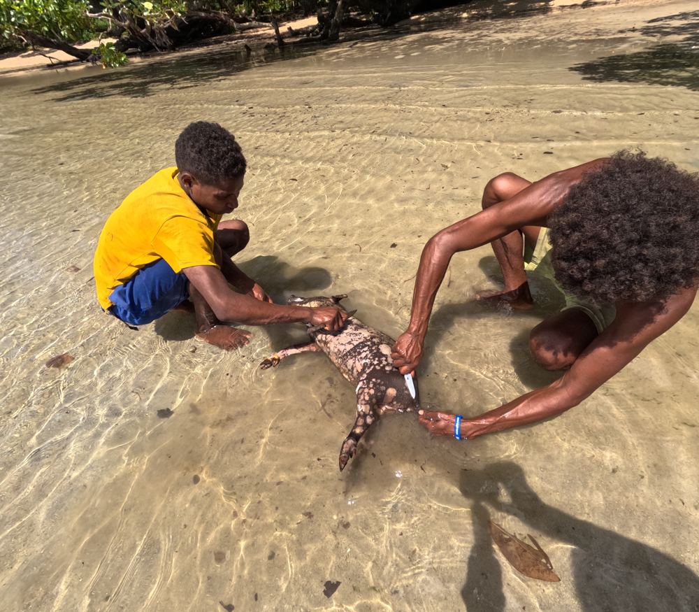
The village killed a small pig for a feast in our honour: crab, crayfish, pork, rice, yam and banana, with hibiscus flowers all over the table. They promised a big pig if we came back with more people (14 Apr 2024).
Everyone rushed to go fishing before the church crowd came back, because it is bad luck to fish while guests are around. Out on the reef the others gathered trochus, clams and crayfish while we speared fish (14 Apr 2024).
On our last night the family gave us bagi blessed for good luck and abundance, and an orange bagi shell from Rossel in a woven coconut-leaf case (14 Apr 2024).
We gave Joseph's family the last of our donated clothes and school things; he took the books to the school. He asked us to tell other yachts to come, two or three at a time, for a big village party (Apr 2024).
The guide
- Position
- 11°29.46'S 153°16.39'E
- Our visit
- About 11-15 Apr 2024 (journal), after Pana Tinani and a stop at Tagula. We anchored off the tip of the point at the entrance to the bay, where our track ends; more anchor marks in the bay to the NE. No depths recorded, so come in with good light (reef and bommies along the edges). Tagula had only a 2G phone tower in 2024.
- Ashore
- A village in the bush and mangroves behind the coast, with sago swamps along the creeks. Families process sago here and sell it at the Tagula market. Walks through the bush and around the point lead to gardens and beaches, past sacred places (ask before you swim, fish or go somewhere new).
- Ashore (us)
- Joseph, whom we'd met at Pamela in 2023, and his family showed us sago being beaten and washed in the swamp, walked us round the point past sacred places (a creek, a cave, an offering rock: ask before you swim or fish), and prepared a pig feast with crab and crayfish (Apr 2024). The reef nearby was healthy and full of fish.
- People
- Joseph, his father John and mother Willma - welcoming family; Joseph also knew us from Pamela and chairs the school committee (2024)
Our sketch map
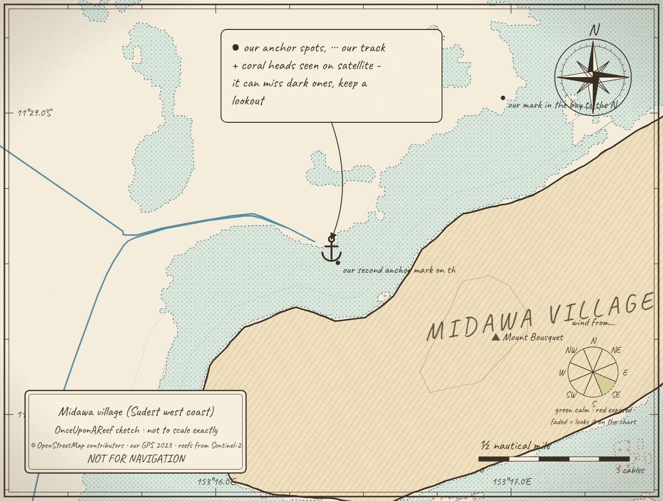
Drawn by us from OpenStreetMap, Sentinel-2 and our GPS. Not for navigation.
More in the Sudest (Vanatinai)
⛵ Sail with us
This guide is free for everyone, sailor or not: explore the islands and watch our episodes right where they were filmed. The two of us made it from our own visits, footage and a lot of late nights over the maps.
▶ Subscribe to OnceUponAReefFollow along for free on Patreon, or become a member from A$3 a month for exclusive videos, each season's update first and meet-ups. Some memberships include the chance to come sailing with us.
♥ Join us on PatreonOpen the interactive mapThis guide is a set of personal cruising notes shared in good faith. Information can be out of date or wrong, and positions can be out by hundreds of metres. It is not a substitute for official charts and notices, your own eyes, local knowledge, or professional medical, legal or customs advice. You use it at your own risk: the skipper alone is responsible for the safety of the vessel and everyone on board, and the authors accept no liability for any loss, injury or damage arising from its use.