All places › Western Calvados
Kukuluba (Kokoluba), Duchateau Islands
Anchorage · Western Calvados · Louisiade Archipelago, Papua New Guinea · also called Kukulba, Kuleluba
Open Kukuluba (Kokoluba), Duchateau Islands in the interactive map▶ Our episodes filmed here
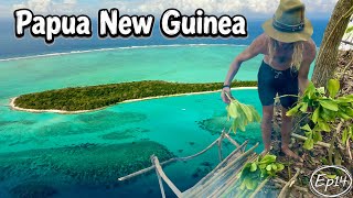
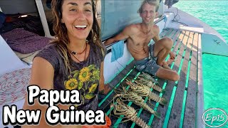
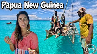
Our photos
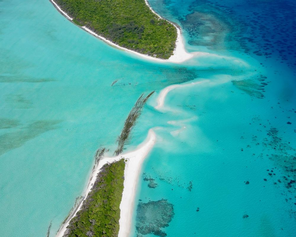
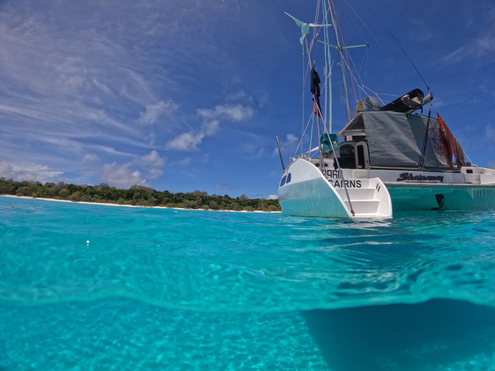
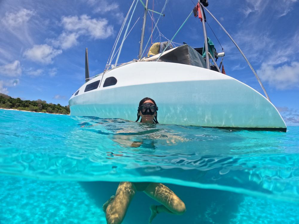
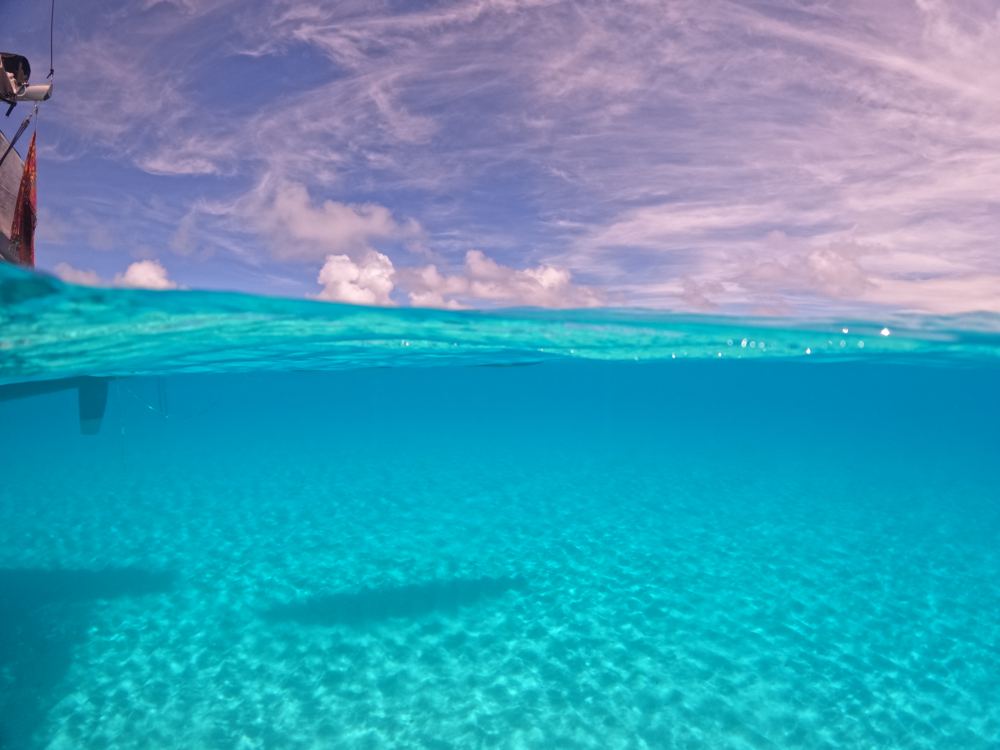
Highlights
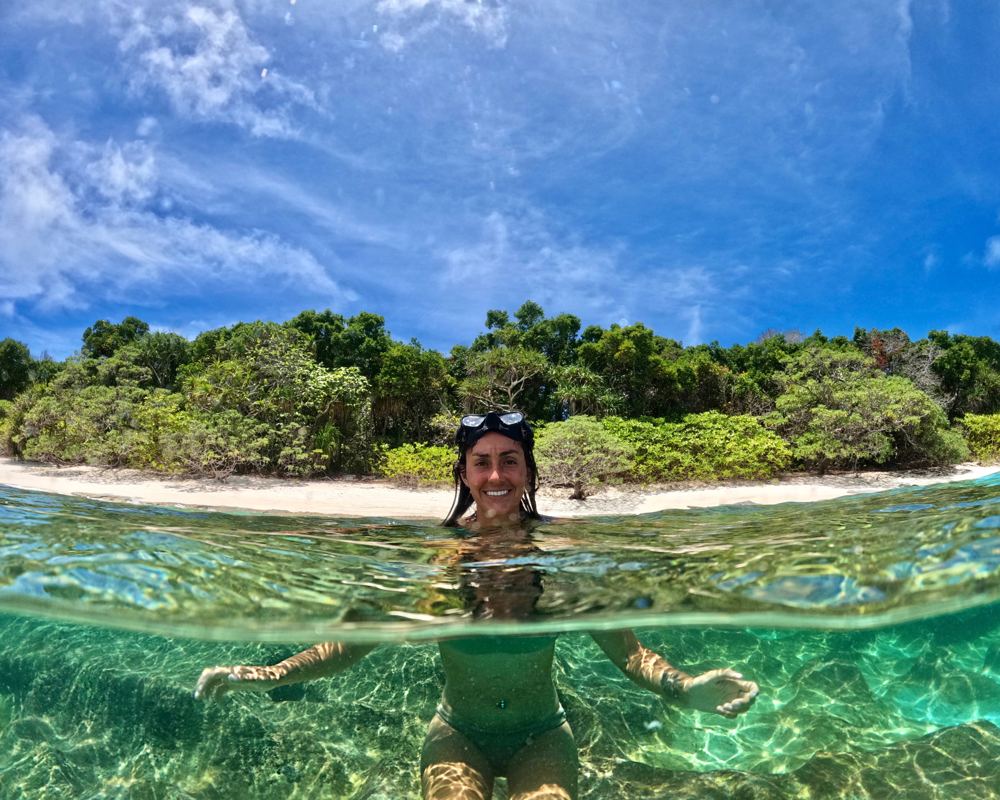
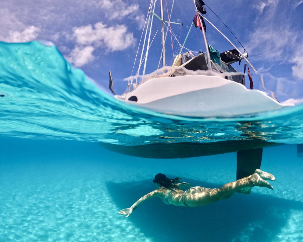
- Snorkelling - nicer coral and fish life just NE of the anchorage
- Beach walking
- Rest stop after the crossing
Stories from our visits
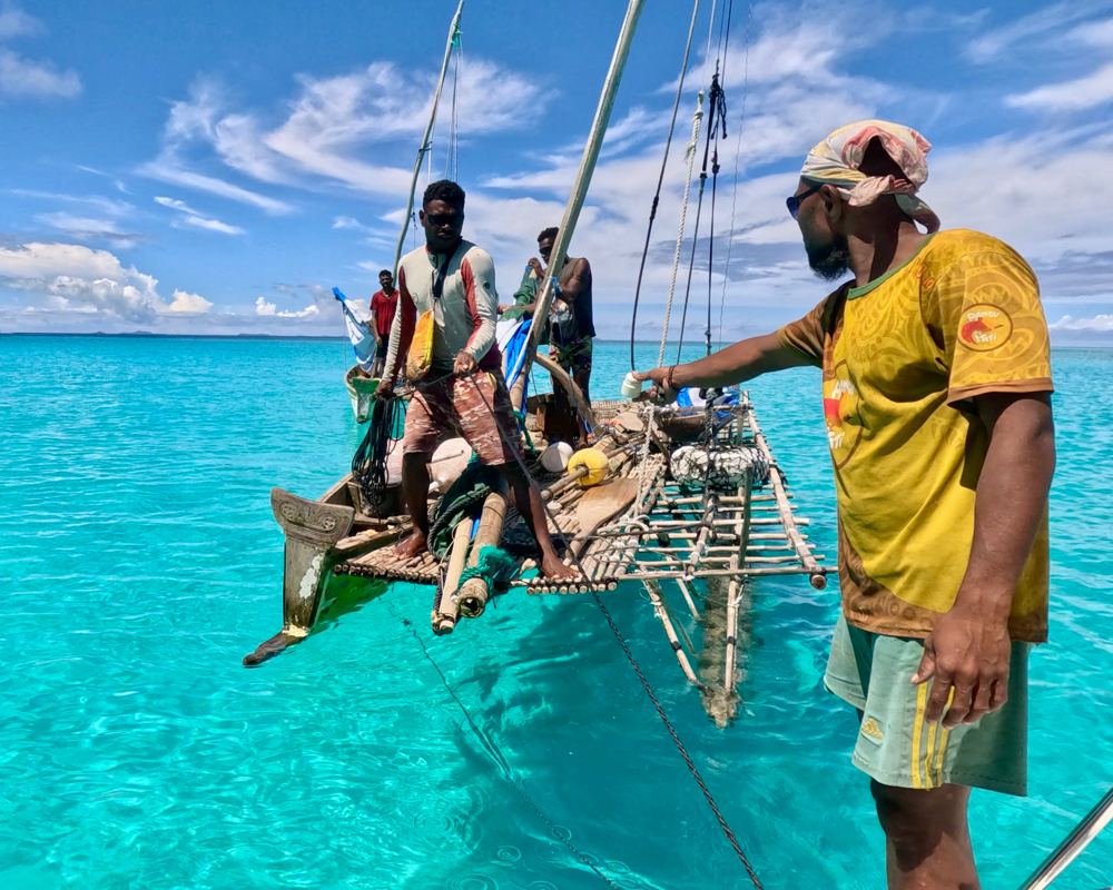
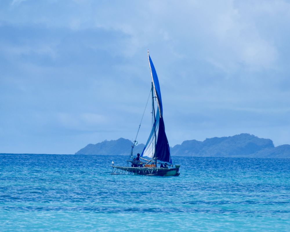
A family of fishermen spent a whole day tacking their sailing canoe up to us in light wind. They camp on the last cay in the chain for a week, catching fish to sell at Misima, and swapped green coconuts for our fresh-caught fish (Oct 2023).
The guide
- Position
- 11°16.43'S 152°23.26'E
- Depth
- 4.5–5 m
- Wind shelter
- good in E, SE
- Our visit
- 15-19 Oct 2023 (diary; GoPro GPS 16-17 Oct), after a 14-hour sail west from Sudest, arriving at night; the three Kokoluba episodes. "Relatively easy entrance, shallow anchorage in a beautiful location. Still get swell rolling round in higher tides. Deceptive amount of current."
- Shelter
- E-SE protection with a tolerable roll; rolls in E over 15-20 kn and at high tide when swell crosses the reef.
- Getting in
- Relatively easy, but NOT through the "Duchateau entrance" marked on old charts - Zodiac's waypoint shows the actual way in from the south. Waves always break on the outer reef. In big seas use the western entrance. Deceptive current.
- Bottom
- sand with coral patches
- Ashore
- Uninhabited low cays (~3 m high); people from Moturina and Brooker visit for nuts and fish. Beach walks.
- Anchoring (us)
- We arrived at night after 14 hours from Sudest, outside the barrier's shelter, waited off using our GPS on satellite imagery, and moved in close to Kukuluba at first light (Oct 2023). We wouldn't recommend a night arrival. Shallow sand in a beautiful spot; swell still rolls round at high tide and the current is stronger than it looks.
- Ashore (us)
- Three uninhabited cays with sea birds and turtle tracks, and a lot of washed-up plastic. We cooked fish on a stick-and-leaf barbecue on the beach the way we'd been shown on Sudest. Fishermen from the islands to the east camp on the last cay for weeks, catching fish to sell at Misima, and they also take turtles and eggs. Don't mention turtle tracks: we did, and they dug up a nest of 68 eggs (sold at K1 each in Misima, 2023).
- Trading (us)
- Our first trade: five crayfish for rice, sugar and a pair of gloves (Oct 2023). Fish for green coconuts the next day.
Our sketch map
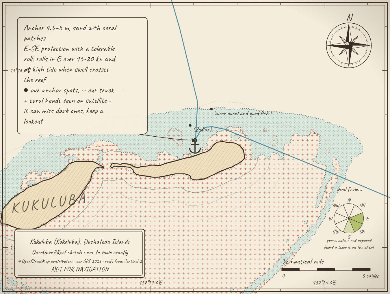
Drawn by us from OpenStreetMap, Sentinel-2 and our GPS. Not for navigation.
More in the Western Calvados
Bramble Haven - Punawan IslandPana Bobai Ana, Duchateau IslandsPanasia IslandUtian (Brooker) IslandMoturina Island - Riman BayNinan IslandKamatal (Kamataal) Island lagoonCormorant Channel / PassWuri Wuri PassagePana Sagu Sagu passageAra Gum Gum passage
⛵ Sail with us
This guide is free for everyone, sailor or not: explore the islands and watch our episodes right where they were filmed. The two of us made it from our own visits, footage and a lot of late nights over the maps.
▶ Subscribe to OnceUponAReefFollow along for free on Patreon, or become a member from A$3 a month for exclusive videos, each season's update first and meet-ups. Some memberships include the chance to come sailing with us.
♥ Join us on PatreonOpen the interactive mapSources: OnceUponAReef 2023 · compendium none
Thanks to Soggy Paws PNG Compendium: their notes are summarised in our own words.
This guide is a set of personal cruising notes shared in good faith. Information can be out of date or wrong, and positions can be out by hundreds of metres. It is not a substitute for official charts and notices, your own eyes, local knowledge, or professional medical, legal or customs advice. You use it at your own risk: the skipper alone is responsible for the safety of the vessel and everyone on board, and the authors accept no liability for any loss, injury or damage arising from its use.