Moturina Island - Riman Bay
▶ Our episodes filmed here
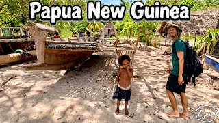
Our photos
Stories from our visits
Two big new sailing canoes sat finished on the beach, waiting only for sails (Oct 2023).
Elijah, a sweet old man who is good on the guitar, makes the gravestones for the island and its neighbours (Oct 2023).
Jimmy showed us how to make fire by rubbing two sticks together, then took us out in his single-hulled dugout (Oct 2023).
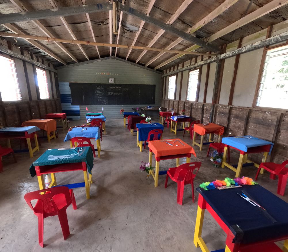
At the school, the desks were decorated with flowers and cloths for the exams. Eighteen students made it to exams, from about forty at the start of their schooling (Oct 2023).
Jeffrey came back from the bush with fresh sago, and his wife Lisa invited us in for fried banana and sweet-potato chips. The guitar came out and before long we were dancing with the older women, then in a friendly dance battle with Jeffrey's brother (6 Apr 2024).
Adelaide paddled out in the rain to show us where she and Jimmy live in the mangroves, and gave us a small fish carving Jimmy had made for us (7 Apr 2024).
The guide
- Position
- 11°04.30'S 152°33.42'E
- Depth
- 4–6 m
- Wind shelter
- good in N, SW, W, NW
- Our visit
- 23-28 Oct 2023 (diary; GoPro GPS 27 Oct; the 'Motorina' and 'Motorina & Bagaman' episodes). Strong tide between the islands on the way in, and passed again in Apr 2024. Jimmy took Ryan fishing to show their feather-lure method; Jimmy can also re-string a bagi necklace with ebony or black-coral seeds.
- Getting in
- Free of dangers; tuck in ~40 m off the beach to the left of the village (looking ashore) in 4 m.
- Bottom
- shoal coral and sand
- Ashore
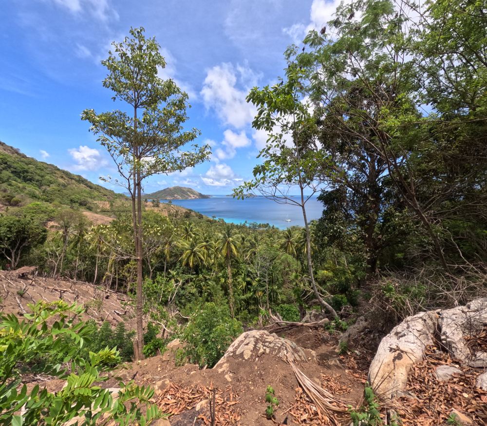
- Boarding school for the surrounding islands (worth a visit). Friendly; oranges, mangoes. Walk up one of the highest peaks in the Calvados with a village child as guide. Saru Nom Nom islet just north has a good drop-off dive.
- Water
- Drinking water ashore (older report).
- Anchoring (us)
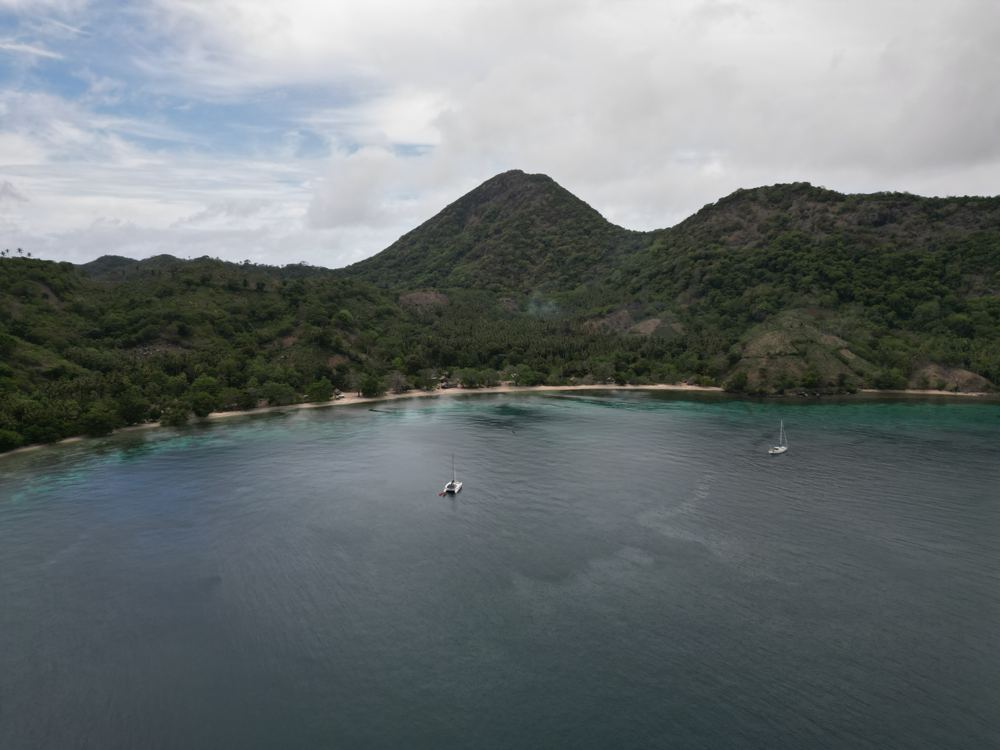
- Riman Bay is a deep anchorage scattered with bommies. When we left (Oct 2023) the chain had wrapped round rocks and Ryan had to free-dive to 18 m to clear it, so buoy your chain. The tidal stream between the islands is strong: going the wrong way we slowed almost to a stop.
- Ashore (us)
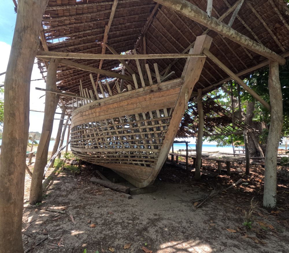
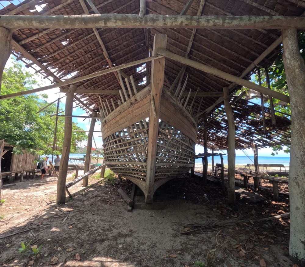
- Lots of kids and canoes. Walk over the shaded hill to the far side for the school and a big wooden cargo ship that has been on the stocks for years. Elders tell great stories (the giant on the mountain). In Oct 2023 the school was short of water, using a boiled well, and the aid-post nurse had left during the drought.
- Trading (us)
- Baskets, clay pots, yellow eggplant, eggs, mangoes, oranges, beans and coconuts, so many we had to stop. Jimmy showed Ryan the local feather lure and how to fish it on the incoming tide, and re-strung our bagi with black coral (2023).
- People
- Jimmy & Adelaide - lovely couple, good English (us, 2023); Elijah - lovely old man (us, 2023); John - lives at the west end (us, 2023)
Our sketch map
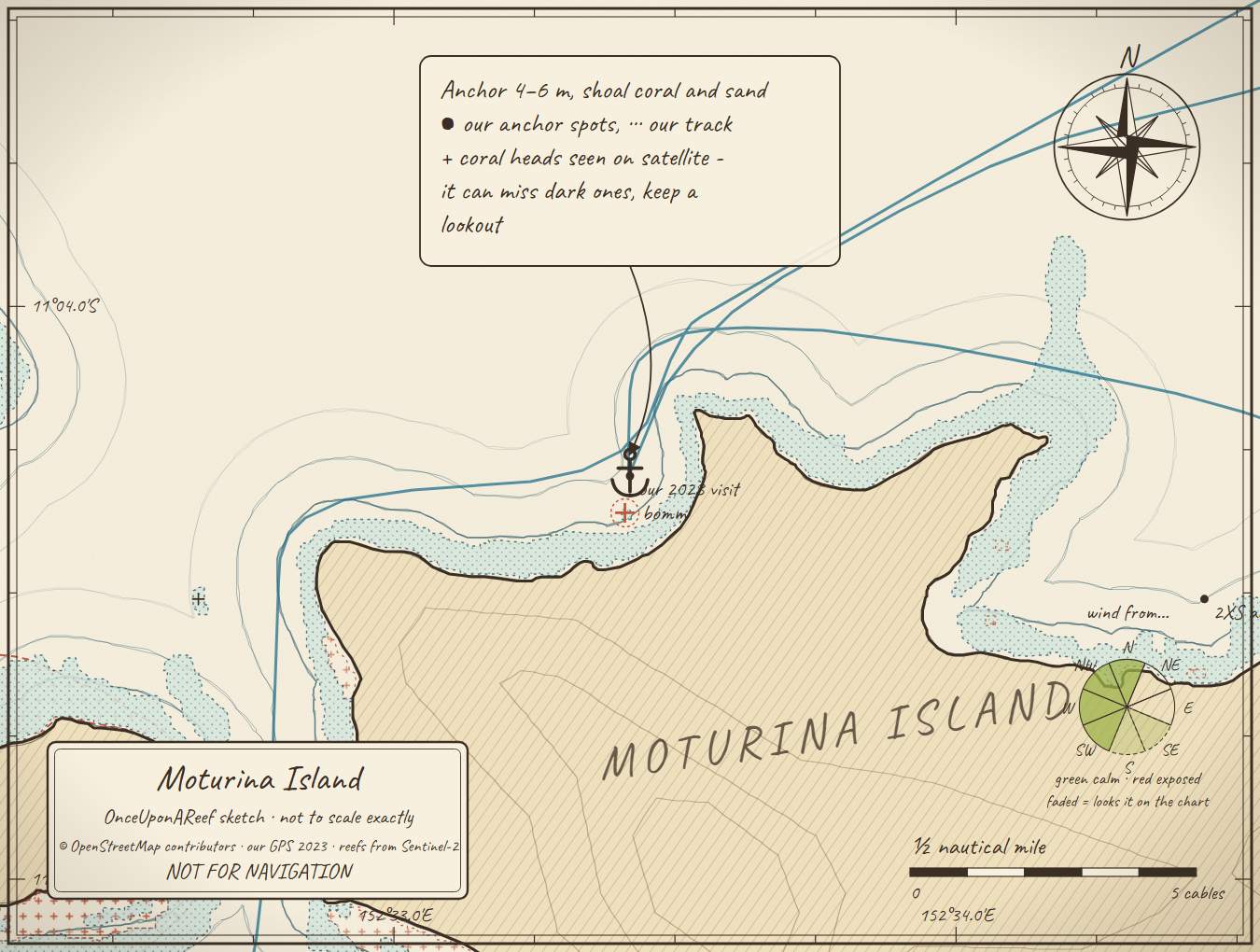
Drawn by us from OpenStreetMap, Sentinel-2 and our GPS. Not for navigation.
More in the Western Calvados
⛵ Sail with us
This guide is free for everyone, sailor or not: explore the islands and watch our episodes right where they were filmed. The two of us made it from our own visits, footage and a lot of late nights over the maps.
▶ Subscribe to OnceUponAReefFollow along for free on Patreon, or become a member from A$3 a month for exclusive videos, each season's update first and meet-ups. Some memberships include the chance to come sailing with us.
♥ Join us on PatreonOpen the interactive mapThanks to Soggy Paws PNG Compendium: their notes are summarised in our own words.
This guide is a set of personal cruising notes shared in good faith. Information can be out of date or wrong, and positions can be out by hundreds of metres. It is not a substitute for official charts and notices, your own eyes, local knowledge, or professional medical, legal or customs advice. You use it at your own risk: the skipper alone is responsible for the safety of the vessel and everyone on board, and the authors accept no liability for any loss, injury or damage arising from its use.