Panasia Island
▶ Our episodes filmed here
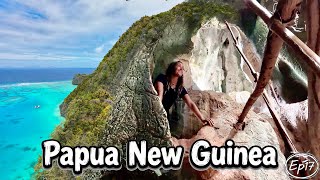
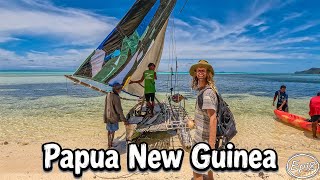
Our photos
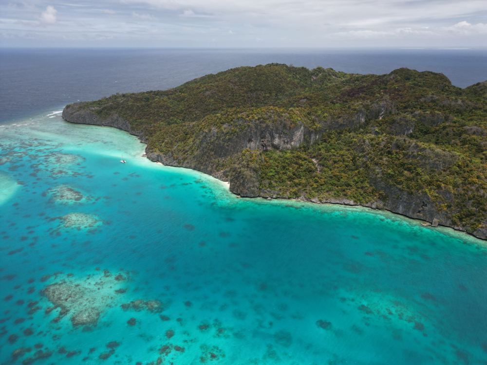
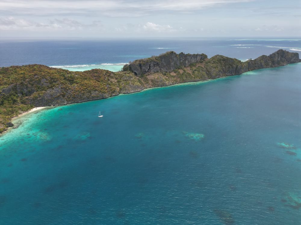
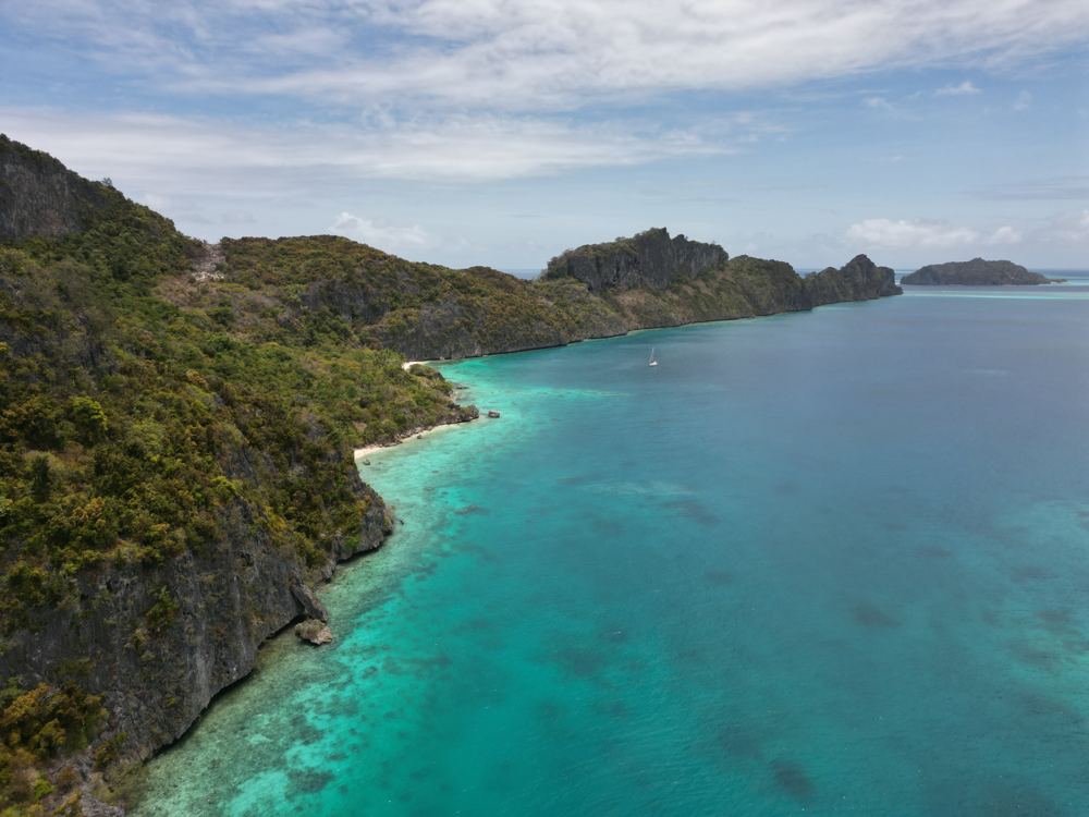
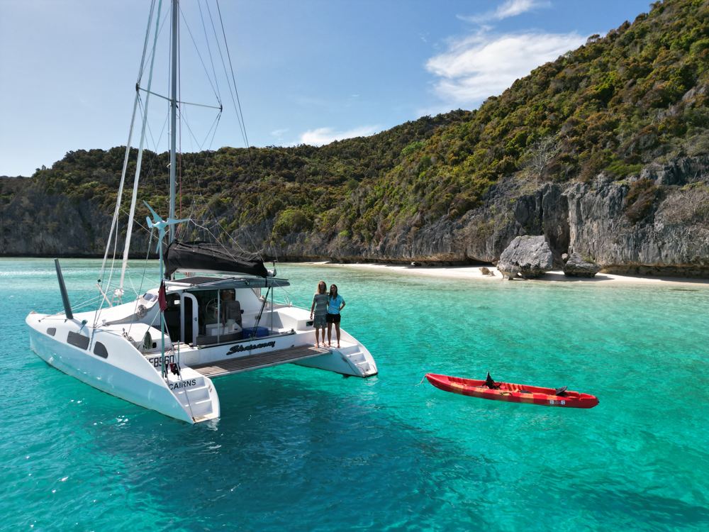
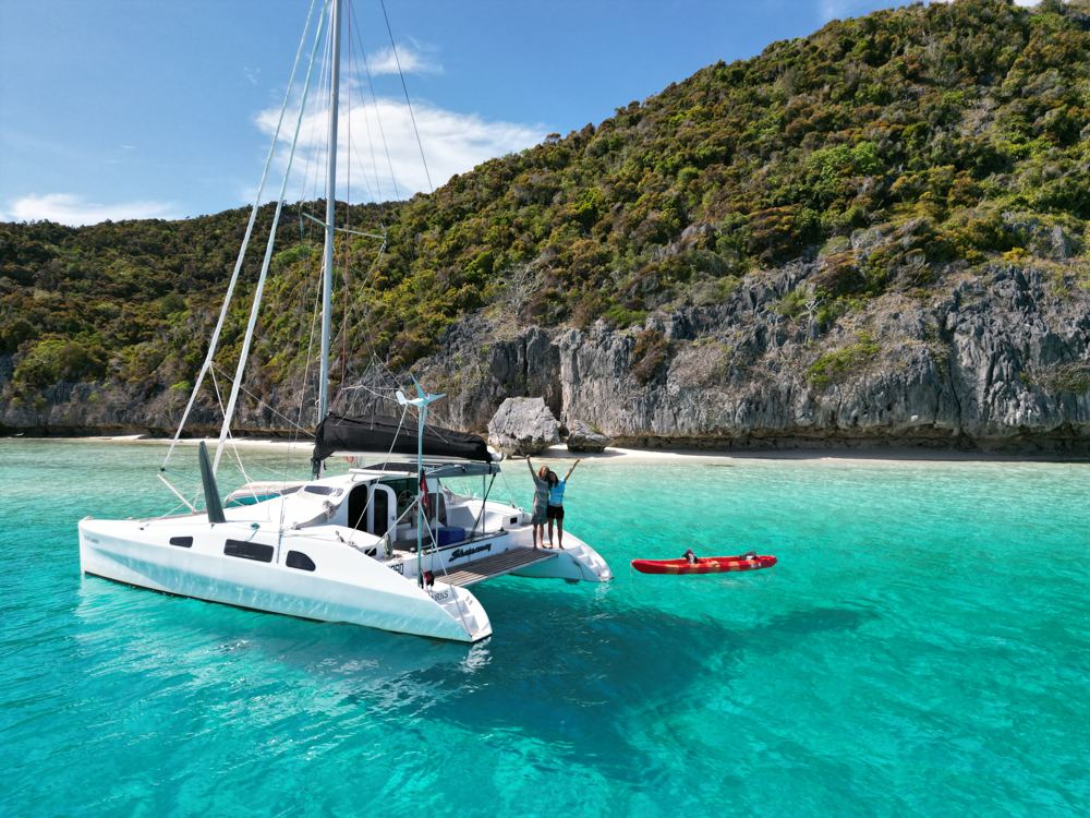
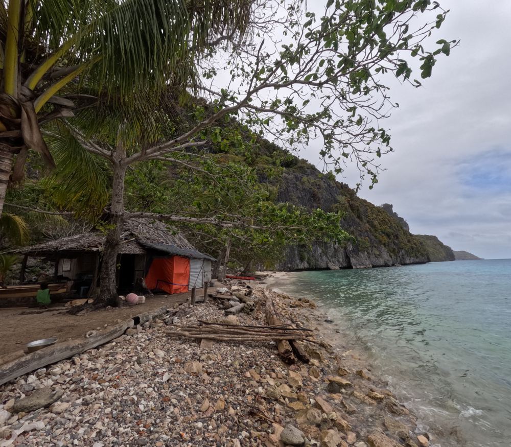
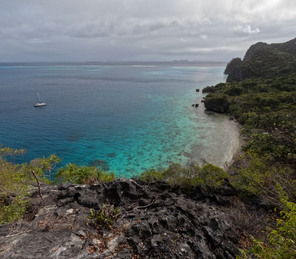
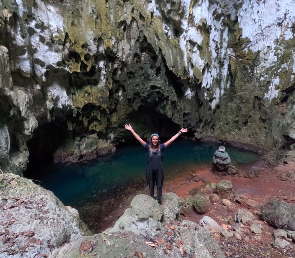
Highlights
- Limestone caves
- Climb/views from the cliffs
- Snorkel and trolling along the cliff face
- Dinghy to Nasakoli islet for shells
- Eagles nesting in the cliffs
Stories from our visits
John took us along the cliffs to the caves where old skulls lie. He said an archaeologist had been and planned to come back to date them (22 Oct 2023).
Junior and friends from Little Panasia took us out in their sailing canoes, then everyone gathered to sing while Poppy played an out-of-tune guitar (22 Oct 2023).
The guide
- Position
- 11°07.90'S 152°19.95'E
- Depth
- 6.5–13 m
- Wind shelter
- good in E, SE, S
- Our visit
- 19-23 Oct 2023 (diary; two spots in the lagoon; the two Panasia episodes), then on to Moturina.
- Shelter
- Rolly at high tide in 15 kn+ SE. Open north.
- Getting in
- From Cormorant Channel go ~3 nm then turn into the lagoon by the narrow northern pass (5 m+). Sun high: bommies inside; charts out by 100 m+.
- Bottom
- sand patches among coral heads - buoy the chain
- Holding
- good in sand
- Ashore
- Towering limestone cliffs, caves on the south side (ask to be shown; there's also a skull cave on little Panasia), lovely beaches. Few people: John and Gwen's house on the beach opposite; two families on little (Small) Panasia; the village is round the other side. Utian islanders garden here and grow corn and cherry tomatoes for yachts.
- Cautions
- Gifts given at the beach house may not reach the village on the other side of the island (us, 2023). If you want gifts to help the village, take them round yourself or give them to the people on little Panasia.
- Anchoring (us)
- Our first night was off the chief's beach. Next morning we paddled round to find somewhere shallower and sandier and moved under the cliffs on the far side of the lagoon (our 'second spot' mark): white beaches under the overhangs, reef on the other side, private but an easy paddle in (Oct 2023).
- Ashore (us)
- Walk over to the village on the far side (steep, sharp path, great views) and on to the big cave with swimming water and fig roots hanging from the roof. With a note from the chief, George on the sand cay across the lagoon took us to the skull cave on Little Panasia; go when the tide is right, as the beaches there only show at low water. The Little Panasia families sailed us home in their canoe.
- Trading (us)
- We traded clothes, fishing gear and rope for a shell bag, a clay pot made on the island, shells, limes, a bush-turkey egg and a nautilus shell (Oct 2023). Shark fin (sold in Alotau), trochus and sea cucumber in season are the village's money.
- People
- John & Gwen - beach house (2023); Frank, MacKenzie Noel - Little Panasia (2011-15)
Our sketch map
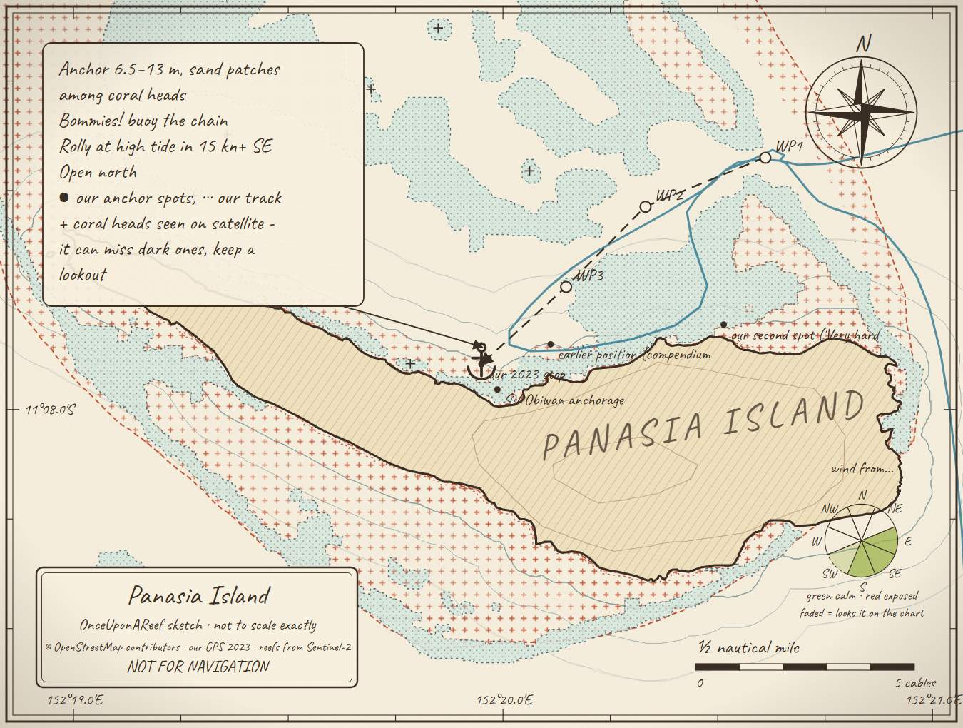
Drawn by us from OpenStreetMap, Sentinel-2 and our GPS. Not for navigation.
More in the Western Calvados
⛵ Sail with us
This guide is free for everyone, sailor or not: explore the islands and watch our episodes right where they were filmed. The two of us made it from our own visits, footage and a lot of late nights over the maps.
▶ Subscribe to OnceUponAReefFollow along for free on Patreon, or become a member from A$3 a month for exclusive videos, each season's update first and meet-ups. Some memberships include the chance to come sailing with us.
♥ Join us on PatreonOpen the interactive mapThanks to Soggy Paws PNG Compendium, Sailing Totem, SV Obiwan: their notes are summarised in our own words.
This guide is a set of personal cruising notes shared in good faith. Information can be out of date or wrong, and positions can be out by hundreds of metres. It is not a substitute for official charts and notices, your own eyes, local knowledge, or professional medical, legal or customs advice. You use it at your own risk: the skipper alone is responsible for the safety of the vessel and everyone on board, and the authors accept no liability for any loss, injury or damage arising from its use.