Bagaman NE bay - Oisi village (the carvers)
Our photos
Highlights
- Ebony and rosewood carvings to commission
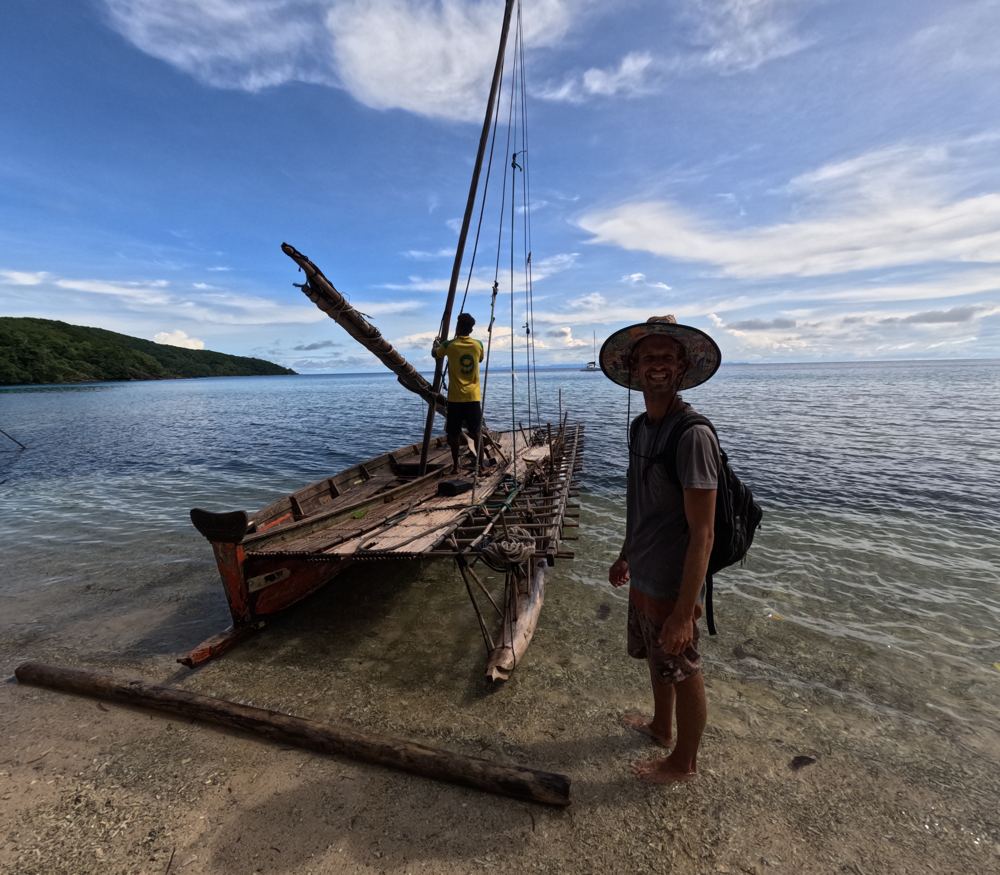
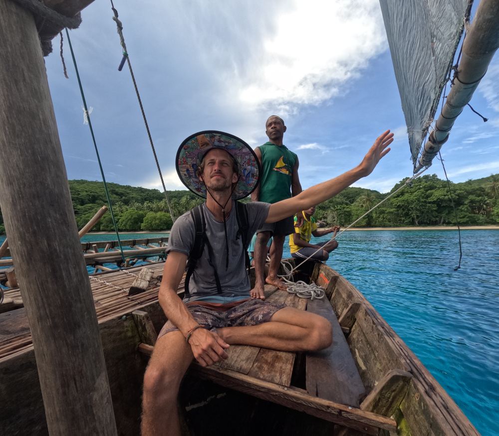
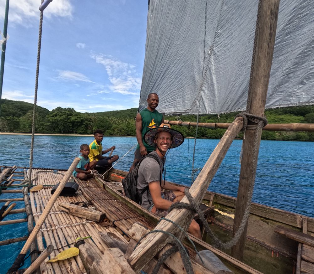
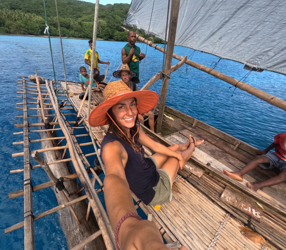
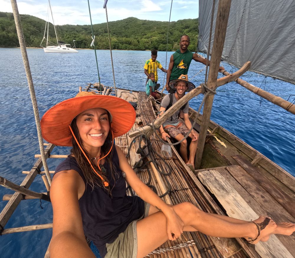
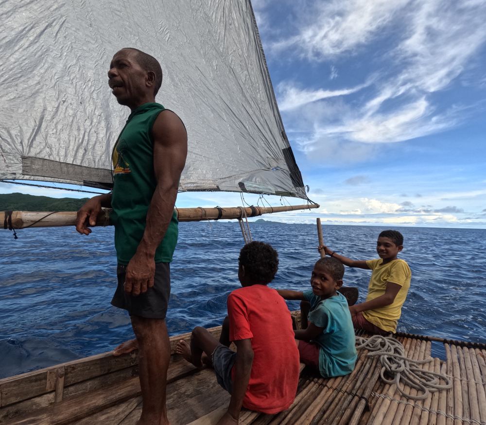
- Sailing in a traditional canoe
- Day-time crayfishing on the exposed side with a local guide
Stories from our visits
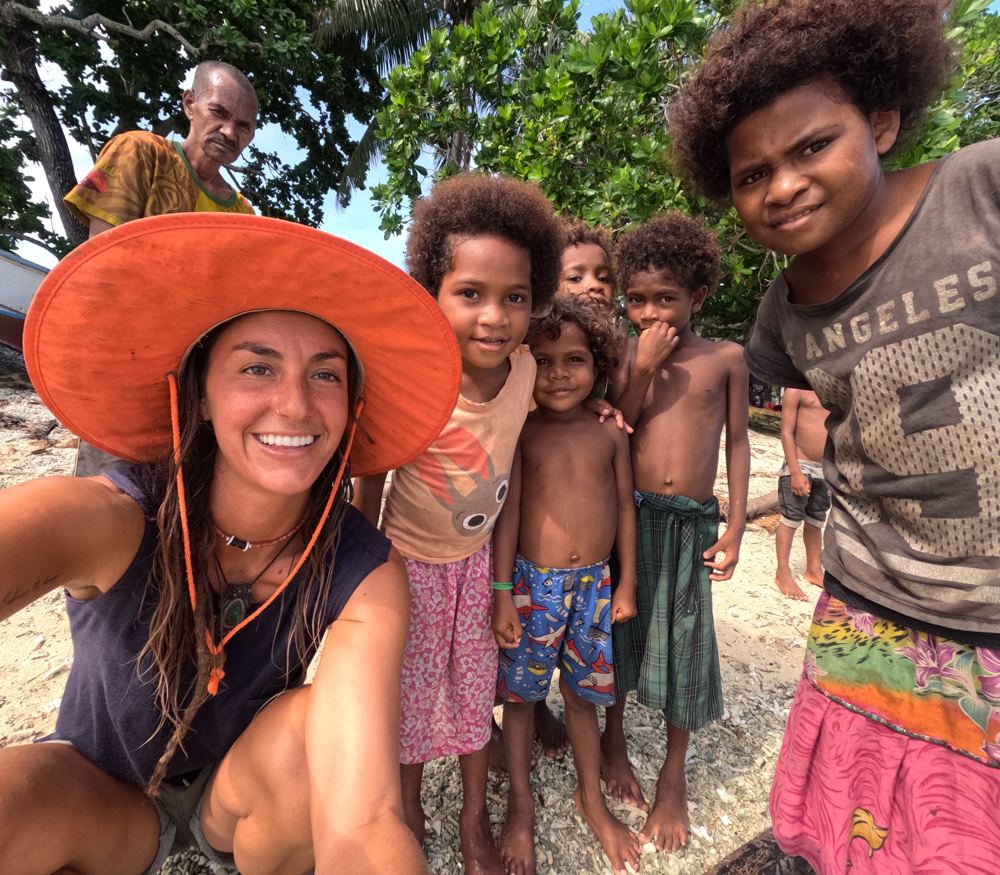
Moses carved a name board for our boat and Wiyaki carved a model sailing canoe, bowls and cutlery, in trade for tools, clothes, rice and an old sail (Nov 2023).
On our return, Wiyaki brought a bowl inlaid around the rim and Moses took us sailing in a traditional canoe, then showed us the bigger one he's building for the sail we gave him (Apr 2024).
Moses took us crayfishing on the exposed side of the island, timing our entry between breaking waves. He speared five crayfish at one bommie; a wave knocked Ryan over and one went back to the sharks (Apr 2024).
The guide
- Position
- 11°07.79'S 152°42.07'E
- Depth
- 4–12 m
- Wind shelter
- good in S
- Our visit
- 29 Oct-4 Nov 2023 (diary) and about 30 Mar-2 Apr 2024 (journal), before moving to the south bay in strong northerlies.
- Shelter
- Very little roll; spot No.2 better in any swell or a straight southerly. Wind bullets in strong SE. A deep anchorage - gusts from all directions and strong current at full-moon springs (us, 2023). Rolly in strong northerlies (us, 2024).
- Bottom
- sandy channel between coral patches (very visible); sand and coral
- Holding
- good
- Ashore
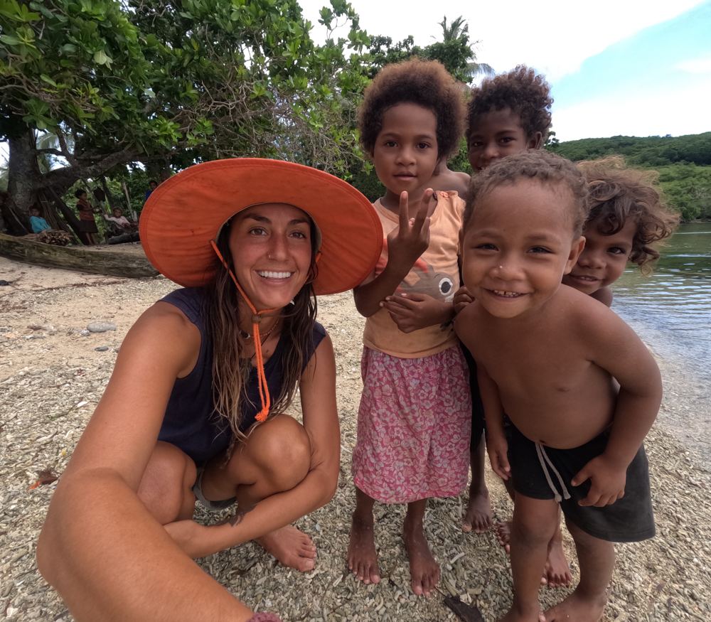
- Long curved beach with big coral bommies - lovely swimming bommie to bommie. Popular rally stop, so expect a steady stream of trading canoes. Bagaman is known for its carvers: they collect ebony from another island and carve at home - model canoes, rosewood bowls with mother-of-pearl or nautilus inlay, cutlery; you can commission pieces. Church service worth it for the singing. Oysters on the mangroves, good walking east, a bush trail (slippery creek rocks) over to the exposed south-side beach, trade store, creek water (wash only). Boys sail model canoes along the beach.
- Cautions
- Reports of theft from one end of the village - lock up at night. In early Nov 2023, with six yachts in the bay, a man claiming to be a Misima customs officer visited some boats at night without papers and never came back.
- Anchoring (us)
- Six yachts were in the bay at once in early Nov 2023. In late Mar-Apr 2024 strong northerlies made it rolly, so we moved to the south bay.
- Ashore (us)
- Moses and Wiyaki carve name boards, bowls, plates, cutlery and model canoes, with nautilus inlay set in beeswax. Wiyaki's house on the hill looks over the whole anchorage. In 2024 Moses took us sailing in his canoe and crayfishing on the exposed side of the island: time your entry between the waves breaking on the rocks.
- Trading (us)
- Carvers want tools (hacksaw blades, files, sandpaper, knives, carving chisels), plus clothes, masks and fins, and rice. We swapped a spare screecher sail for a name board and future carvings (2023). In Apr 2024 food was short: Wiyaki asked only a bag of rice for a model sailing canoe, so we gave a lot more. Canoe sails here are sewn tarps that wear out fast, so an old yacht sail is worth a great deal.
- People
- Moses - carver, sails a traditional canoe; carved our boat's name board (us, 2023-24); Wiyaki (Waiyaki) - woodcarver: bowls, cutlery, model canoes (us, 2023-24; 2011); Keny - Moses' brother, carver (us, 2024); Moses & Lyla, Gulo & Sanity - hosted cruisers (2011-16); Morris - headman/councillor, took cruisers cray-fishing at night (1990s)
Our sketch map
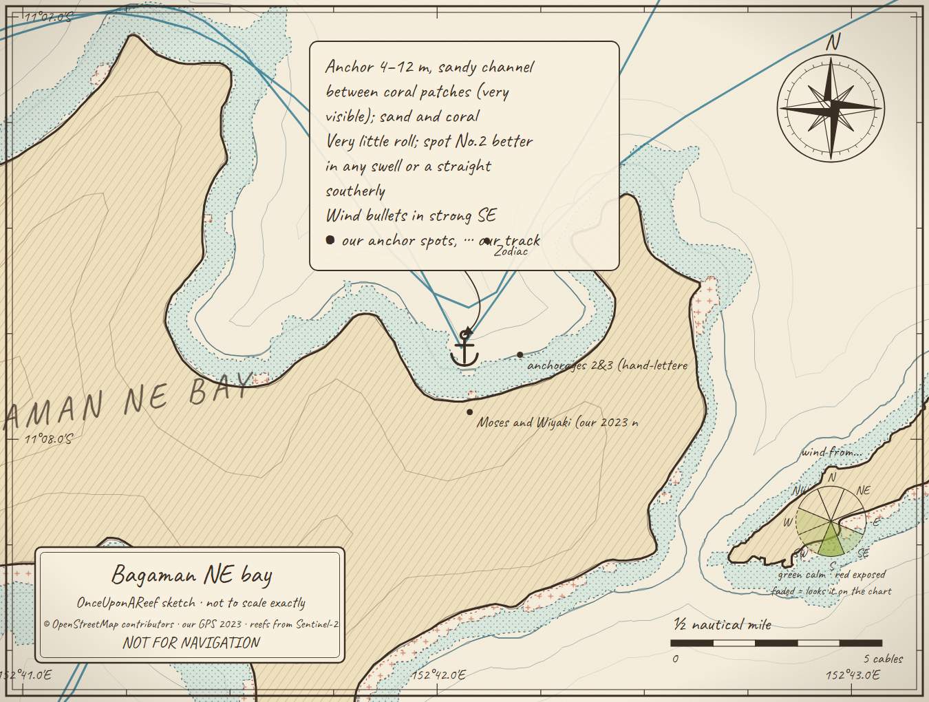
Drawn by us from OpenStreetMap, Sentinel-2 and our GPS. Not for navigation.
More in the Central Calvados
⛵ Sail with us
This guide is free for everyone, sailor or not: explore the islands and watch our episodes right where they were filmed. The two of us made it from our own visits, footage and a lot of late nights over the maps.
▶ Subscribe to OnceUponAReefFollow along for free on Patreon, or become a member from A$3 a month for exclusive videos, each season's update first and meet-ups. Some memberships include the chance to come sailing with us.
♥ Join us on PatreonOpen the interactive mapThanks to Soggy Paws PNG Compendium: their notes are summarised in our own words.
This guide is a set of personal cruising notes shared in good faith. Information can be out of date or wrong, and positions can be out by hundreds of metres. It is not a substitute for official charts and notices, your own eyes, local knowledge, or professional medical, legal or customs advice. You use it at your own risk: the skipper alone is responsible for the safety of the vessel and everyone on board, and the authors accept no liability for any loss, injury or damage arising from its use.